Civil Engineering
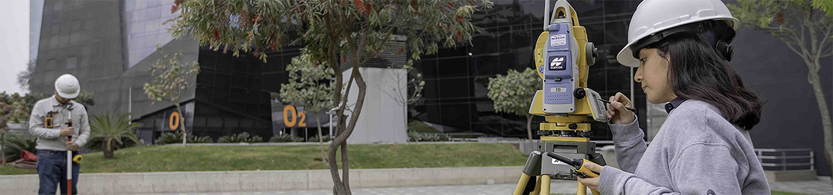
Topography and Geomatics Laboratory
The objective of the Topography and Geomatics Laboratory is to provide specialized technical support according to the inherent needs of society, engineering, industry, public or private institutions, academia, and particularly students and professors of the Civil Engineering Undergraduate Program of Universidad de Lima.
In this context, the Topography and Geomatics Laboratory intends to provide the university community with an environment conducive to the preparation of academic works, teaching projects and scientific research in such area. It also aims to provide the industry with specialized technical support.
Areas of Study
In the Topography and Geomatics Laboratory, students study and conduct research on different areas of interest. Some of them are:
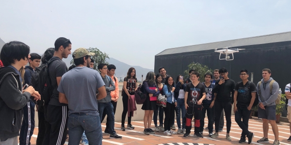
- Topography using drones
- Photogrammetry
- Bathymetry
- Geomatics
Research Projects
In 2018, this Laboratory contributed to the development of the research entitled “Implementation of the use of drones in topographic mapping,” carried out with the Scientific Research Institute (IDIC) . As part of this research, different types of survey were conducted with a variety of equipment, from total stations to drones. The data were subsequently processed and analyzed in the Laboratory.
Throughout year 2019, this Laboratory has been the technical support for two research carried out together with the IDIC. One of them is called “Geographic information system (GIS) and remote sensing techniques for evaluating vulnerability and earthquake risk in urban areas,” and it intends to demonstrate how, by using consolidated geomatics techniques, it is possible to extract relevant information for parameter estimation in vulnerability models. The other research is called “Methodology for using bathymetric survey drones,” and it proposes to develop a bathymetry methodology that uses drones with recent advances in technology for underwater topography.
Infrastructure
The Laboratory complies with the requirements of national and international standards.
Equipment and Technology
The Topography and Geomatics Laboratory has specialized equipment, such as total stations, scanning total stations, differential GPS and digital levels. It also has equipment appropriate for the generation of point cloud, such as drones and LIDAR technology.